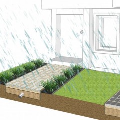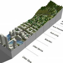
The CRCWSC has recently developed the Scenario Modelling Tool that can be used to help prioritise locations for passively watered systems and Water Sensitive Urban Design scenarios. The GIS based platform includes a range of spatial data sets which are used to create a baseline which options are assessed against. These data sets include:
- SA1 census (ABS, 2011)
- Building footprints & Landcover (Geoscape, 2018)
- Parcel Map Polygons (Department of Environment, Land, Water & Planning, 2018)
- 24h rainfall data & Evaporation data (BOM, 2018)
- Digital Elevation Model (DEM) of Australia derived from LiDAR 5 Metre Grid (Geoscience Australia, 2018)
Users can model an area (a specific site up to whole of catchment) based on current conditions and compare to future scenarios to quantify the impacts of development, and benefits of a range of typical water sensitive interventions.
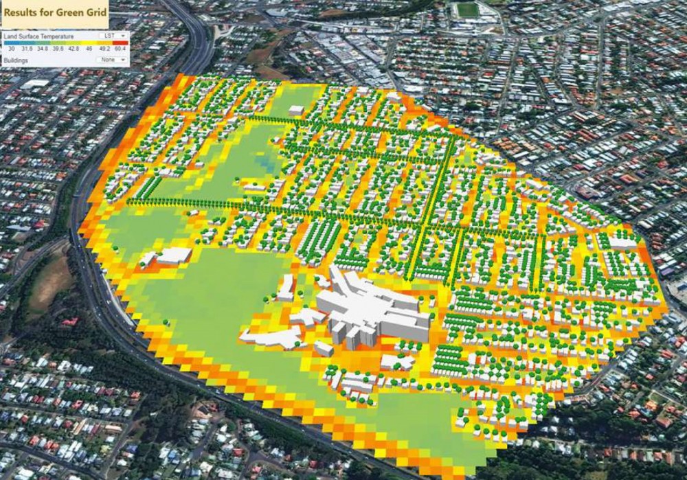
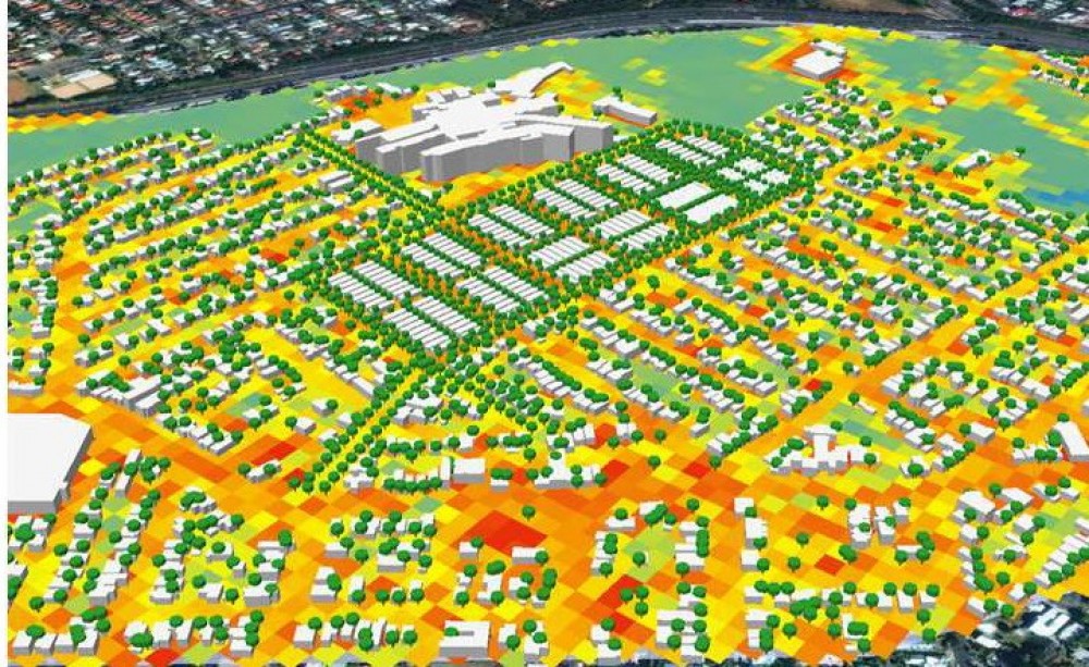
The tool provides both 3D visualisations of the scenarios plus graphical and data outputs including:
- Land Surface Temperatures
- Air Temperatures
- Catchment runoff
- Total Nitrogen Generated
- Water Balance
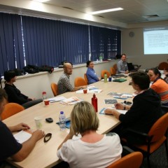
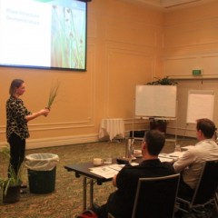
We have been involved with the development and testing of the Scenario Modelling Tool and used it on a number of demonstration projects (CRCWSC Roadshow Workshops in Brisbane, Townsville, Melbourne, Adelaide, Canterbury Bankstown, Inner West Council). Assessing scenarios, using metrics available within the tools such as thermal comfort, allow the wider benefits of water sensitive urban design to be quantified in unique ways. This can be used to inform cost benefit ratios and support a business case which favour liveability and sustainable outcomes.