Increasing Catchment Permeability Framework
City of Port Phillip
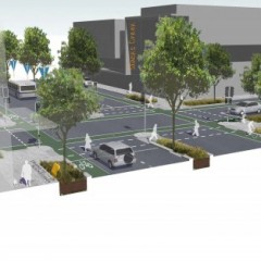
E2Designlab partnered with Spatial Vision to establish a permeability baseline across the City of Port Phillip and materials to help support permeability responses within council.
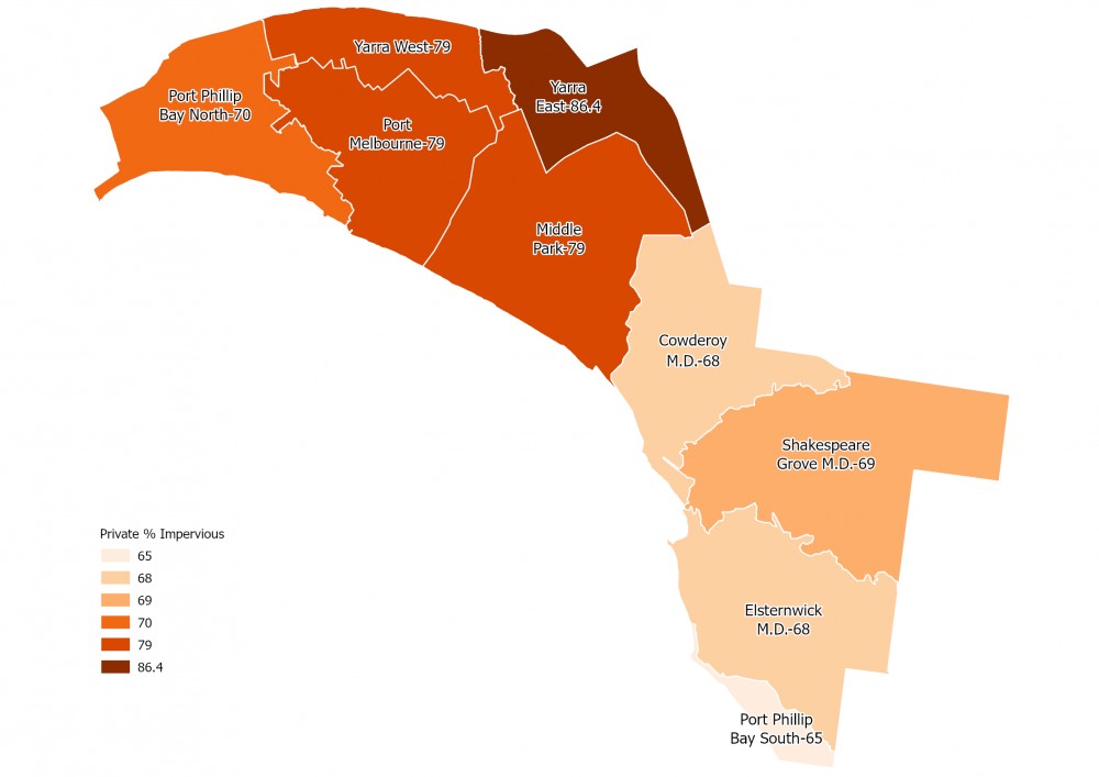
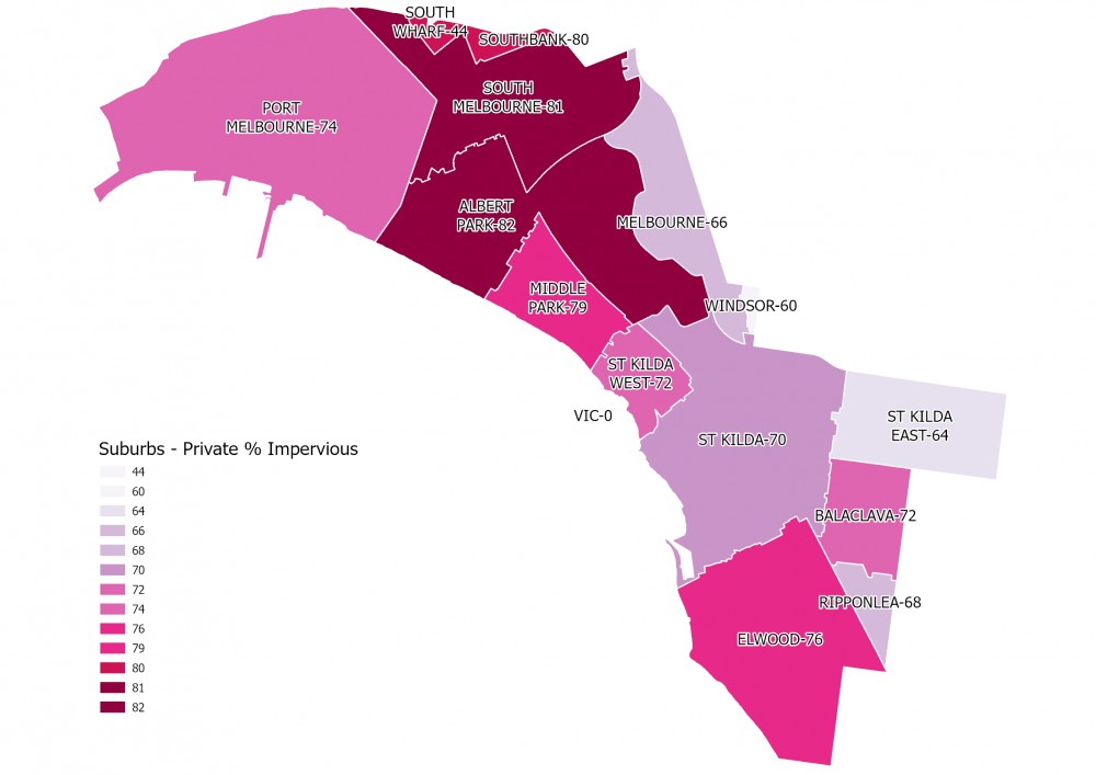
The baseline assessment involved using a combination of council streetscape mapping and Melbourne Water impervious surface data to create a detailed map of impervious surfaces across the municipality. Permeability percentages were calculated for each of the City's nine sub-catchments (further broken down into public and private land ownership). These were used as a baseline to track progress towards a permeability target. The following material was developed to support the uptake of permeability within routine council streetscape works:
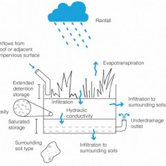
- a catalogue of suggested permeability responses detailing critical design features and advice for common areas of concern.
- a dynamic framework to assist decision making around which permeability response to pursue under different circumstances.
- a permeability calculator that determines the impact of permeability responses.
- a tool for tracking progress towards municipal and sub-catchment permeability targets.
- recommendations for permeability targets.